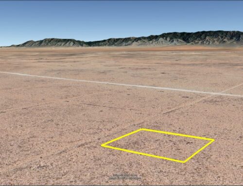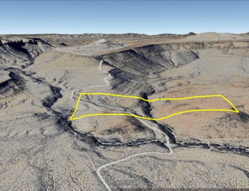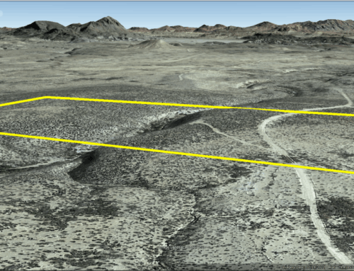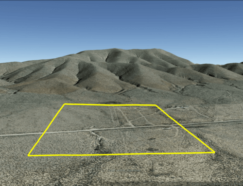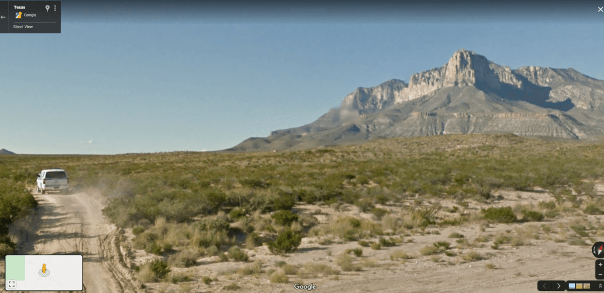
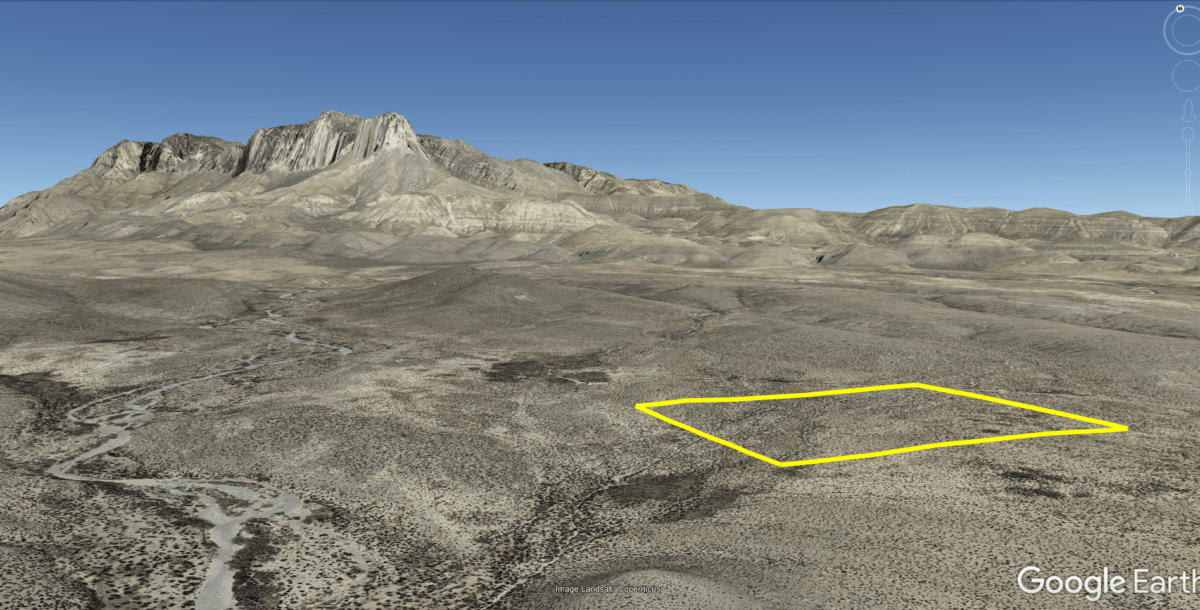

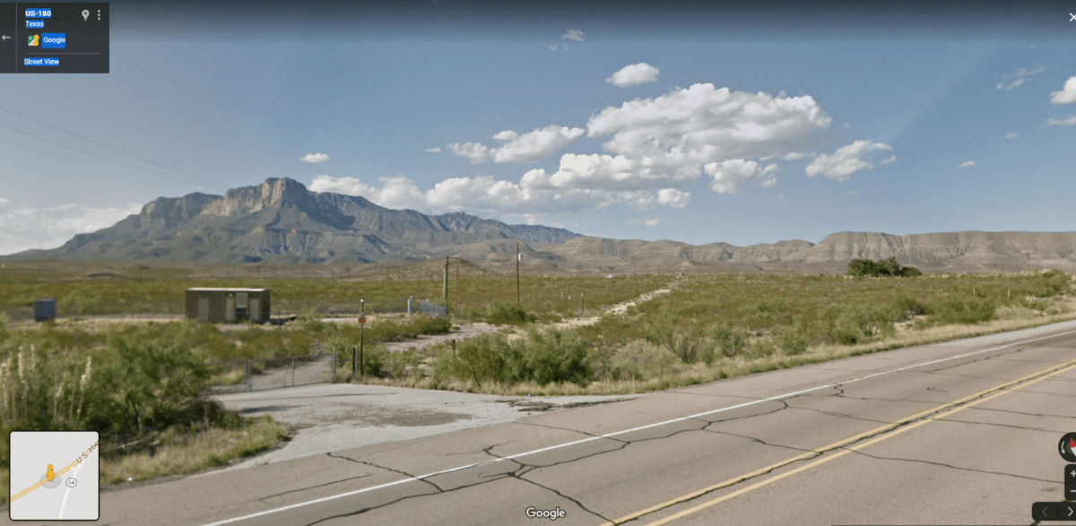
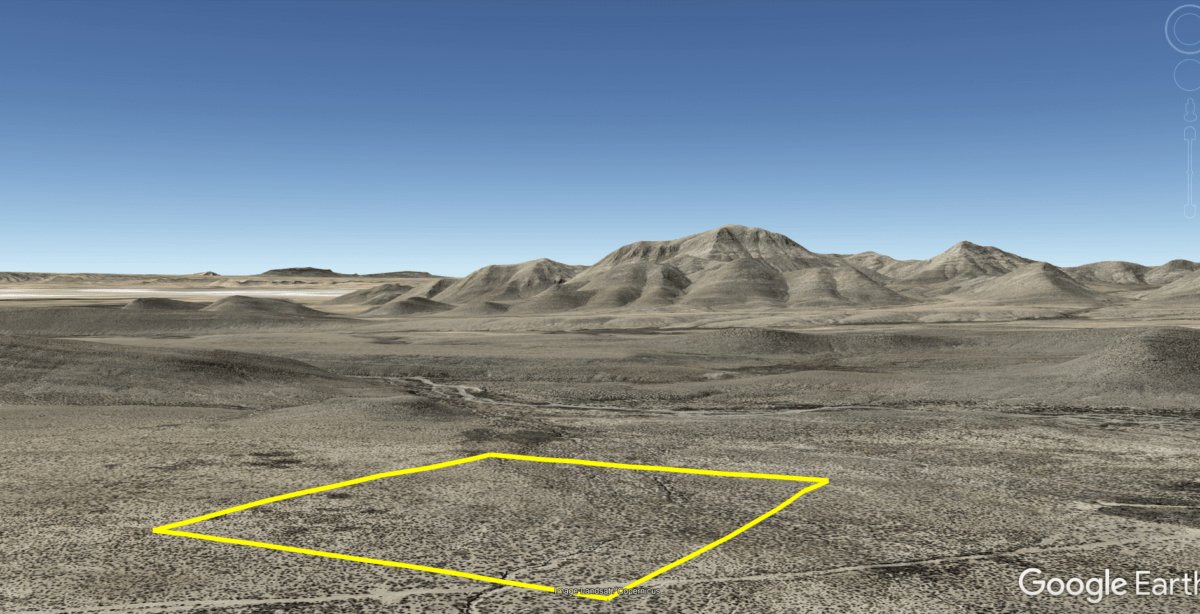
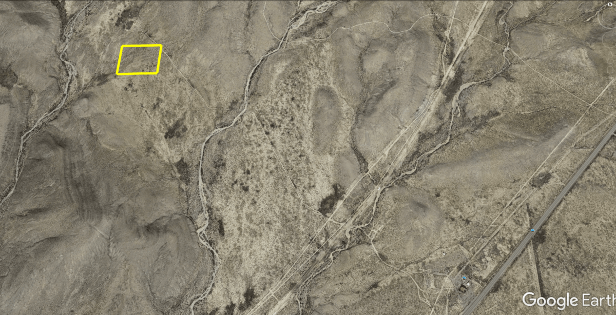
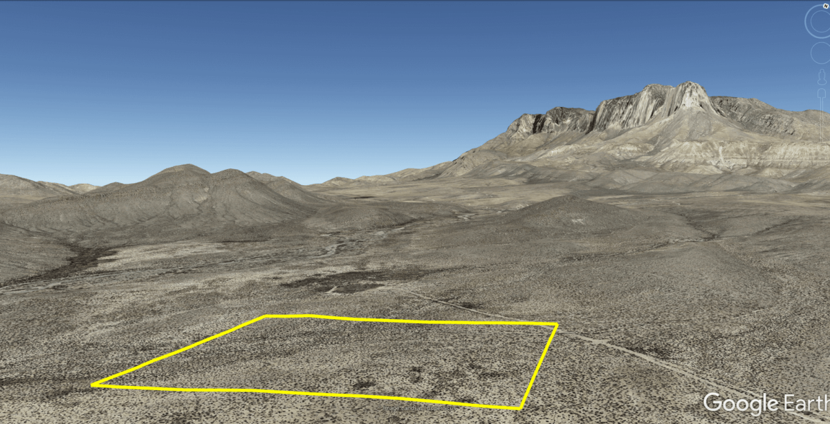
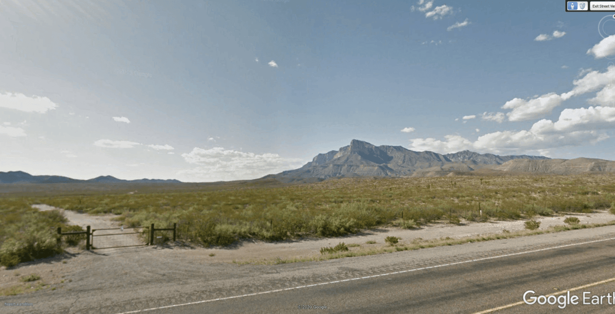
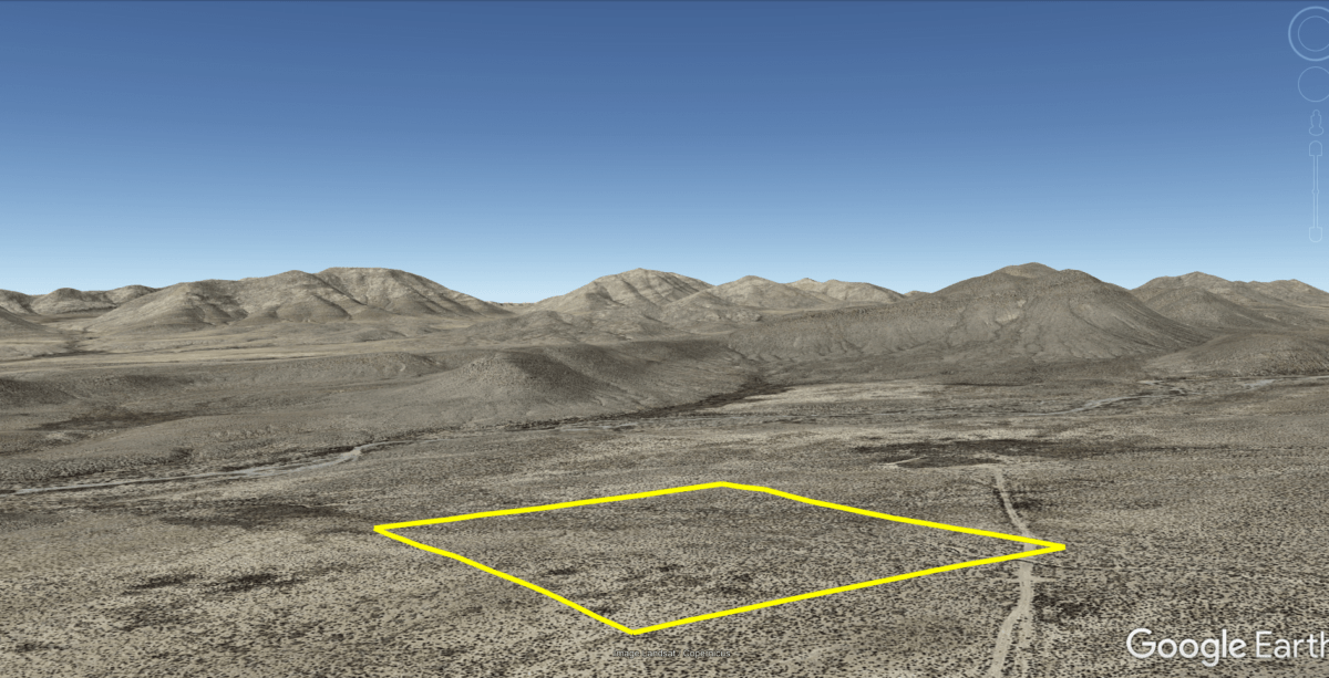
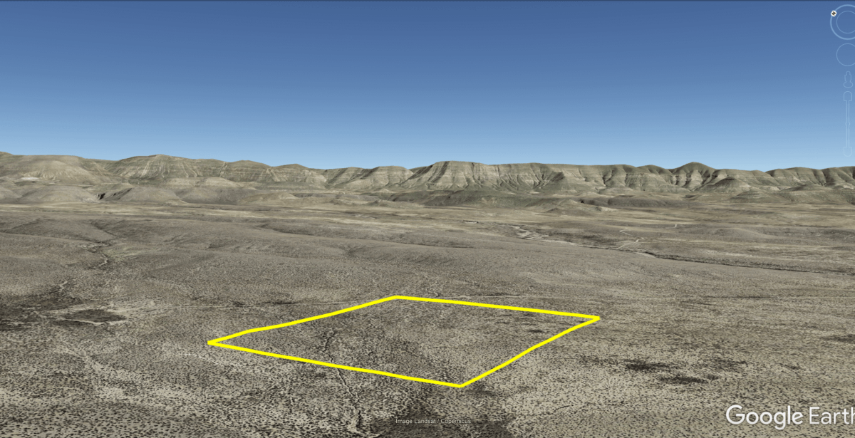
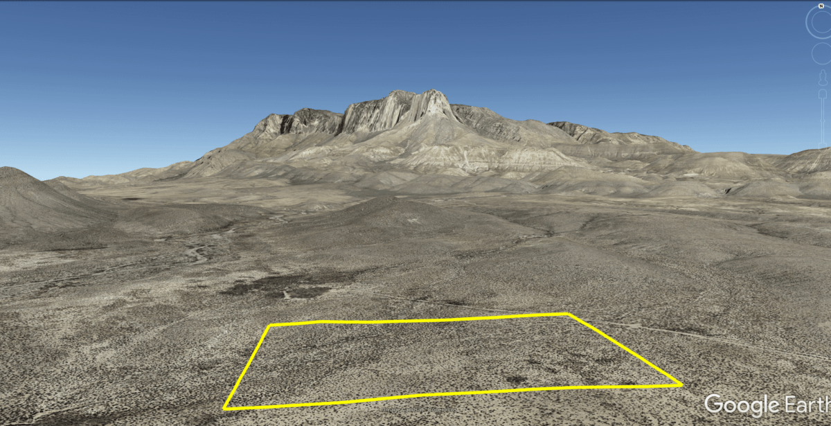
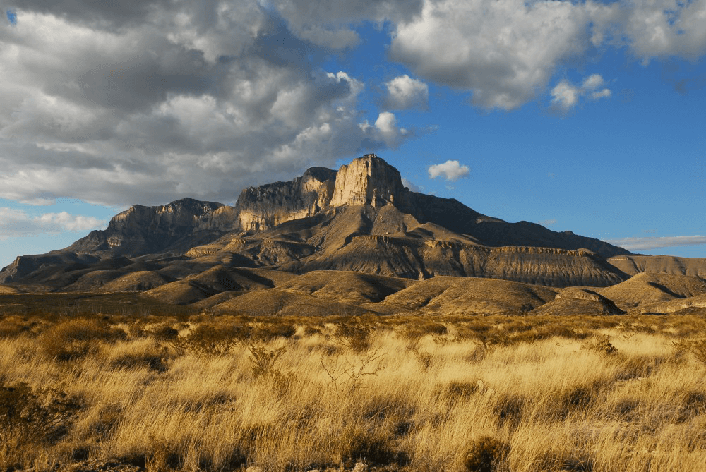
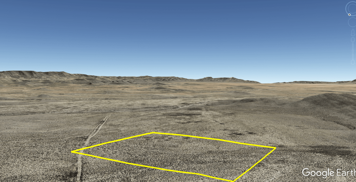
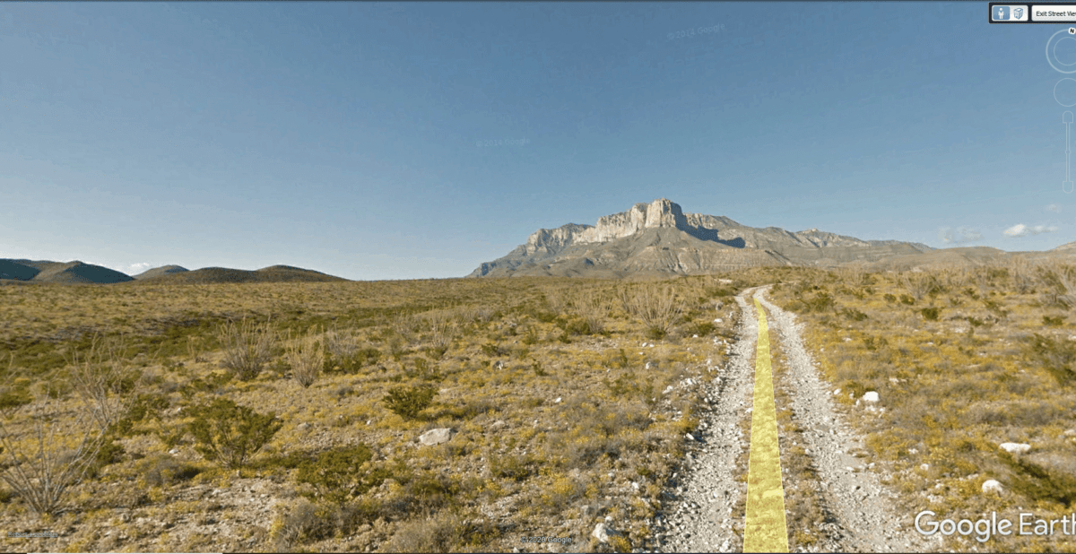
10 acres bordering Guadalupe Mountains National Park with a view of El Capitan and Guadalupe Peak – the Highest Mountain in Texas! The North and West sides of this property border the national park and one mile North is the historic Butterfield Overland Mail Stage Coach trail. No worries about neighbors to the north blocking your view of the beautiful Guadalupe Mountains. This is one of the most unique properties in the state of Texas. Enjoy amazing views and incredible hiking trails. Not far away is Carlsbad Caverns in New Mexico which are also part of the Guadalupe Mountain Range.
Cash: $22,400
or
Owner Finance: $22,700 – $300 doc fee/$200 down pmt & 90 payments $282.06 ($250 pmt + $7 service fee + $25.06 property tax)
Doc Fee & Down Payment Link:
Note: Down Payment & Doc Fee can be paid using credit or debit card. Monthly payments must be paid using ACH – checking account/routing number.
Acres: 10 Acres
Property Id: 8645
Legal Description:
Northwest quarter of the Northwest quarter of the Northwest quarter
of Unit 5 , Guadalupe Estates, Section 14, Block 120, Public School
Lands, Culberson County, Texas.
Elevation: 4222 ft
Topography: flat, some foliage
Roads: dirt
HOA/POA: none
Utilities: none
This is off-grid land. There are no city utilities here. You can use batteries, a generator, solar panels or windmill for electricity.
For water you can bring it with you, drill a well, have water trucked in and delivered, set up a rain catchment system
Mineral Classified Lands: according to the Texas General Land office map, this property is “mineral classified land” which means that the State of Texas owns the mineral rights and splits them 50/50 with the current surface owner.
State: Texas
County: Culberson
CAD Tax: $22.46
County Tax: $2.60
Nearest Town: Van Horn, TX
Google Map Link: https://goo.gl/maps/HPD6FBnu8BW8U8AeA
Directions to the property:
I haven’t been to the property, but looking at the satellite maps this appears to me to be the best, but not the only route to the property. You probably need a Truck or SUV to access the property. I wouldn’t attempt it in a car.
From US Hwy 62 take gate at 31.808456, -104.838167
Go .67 miles then turn left at 31.814906, -104.846731
Go .95 miles then turn right at 31.803308, -104.854858
Go .94 miles arrive at property 31.812978, -104.865236

GPS Coordinates: 31.812161, -104.866386
NorthWest Corner: 31.813019, -104.850925
SouthWest Corner: 31.811300, -104.850903
SouthEast Corner: 31.811278, -104.865147
NorthEast Corner: 31.813042, -104.865153
Links with information on Van Horn:
Area Attractions:

