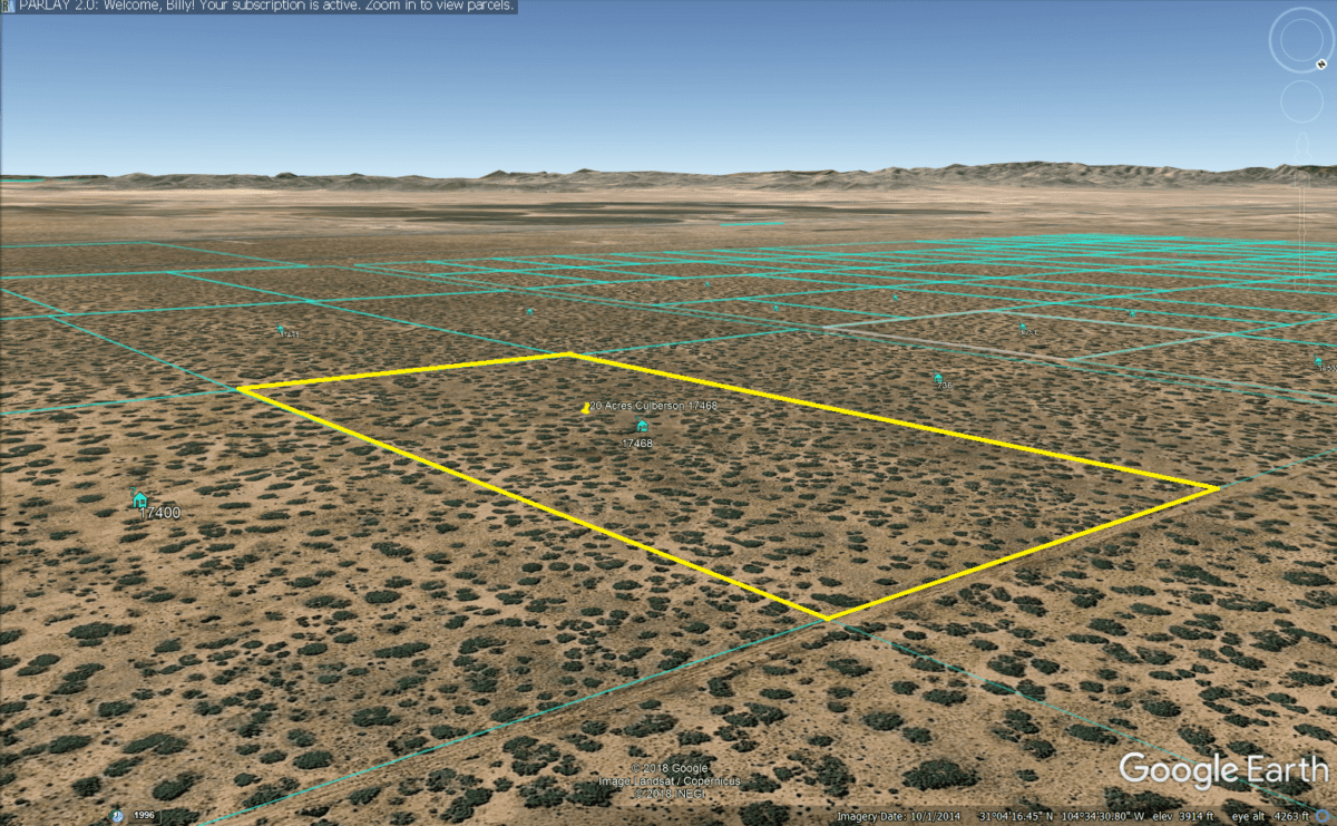
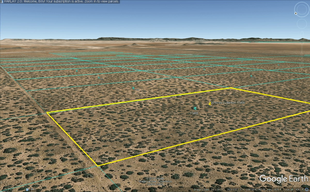
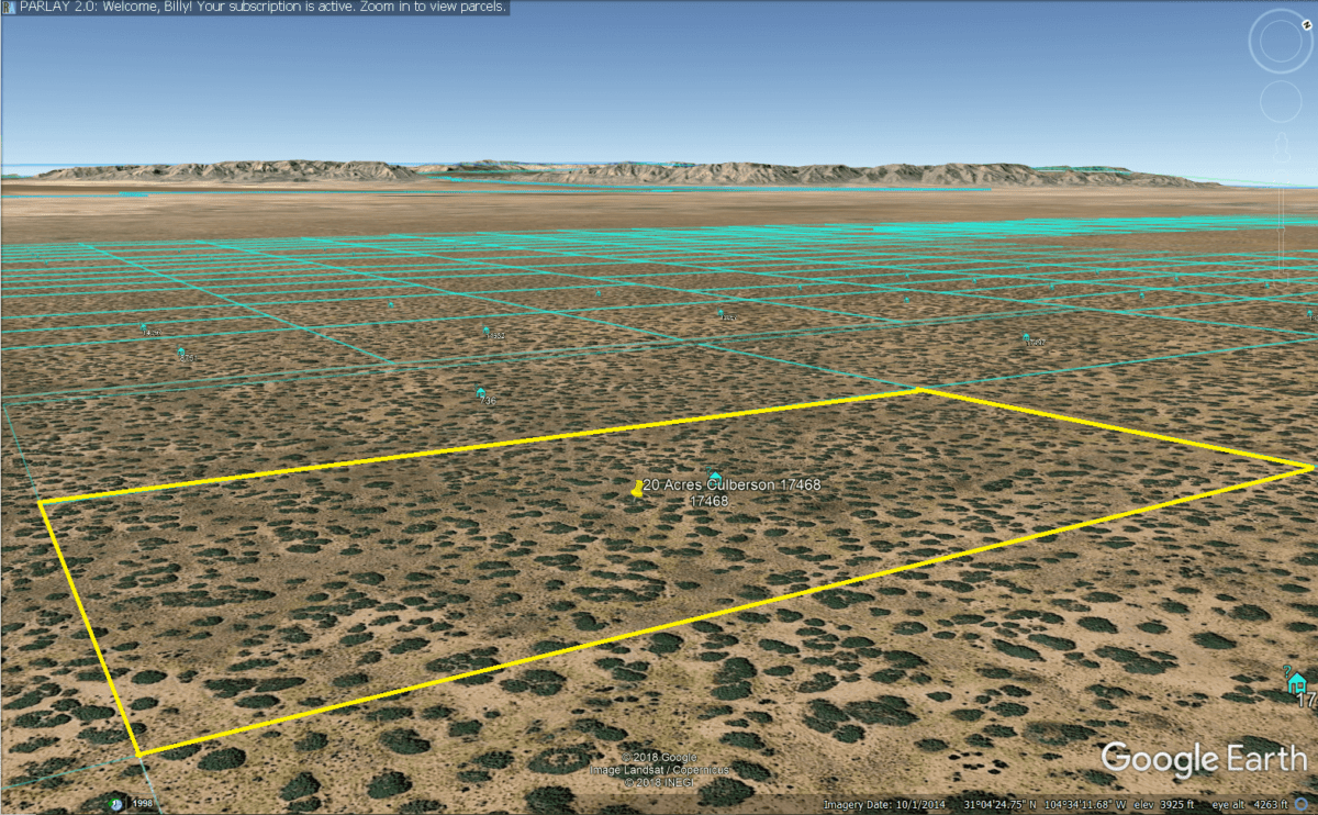
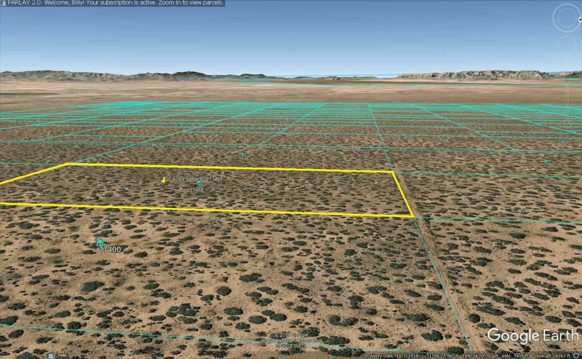
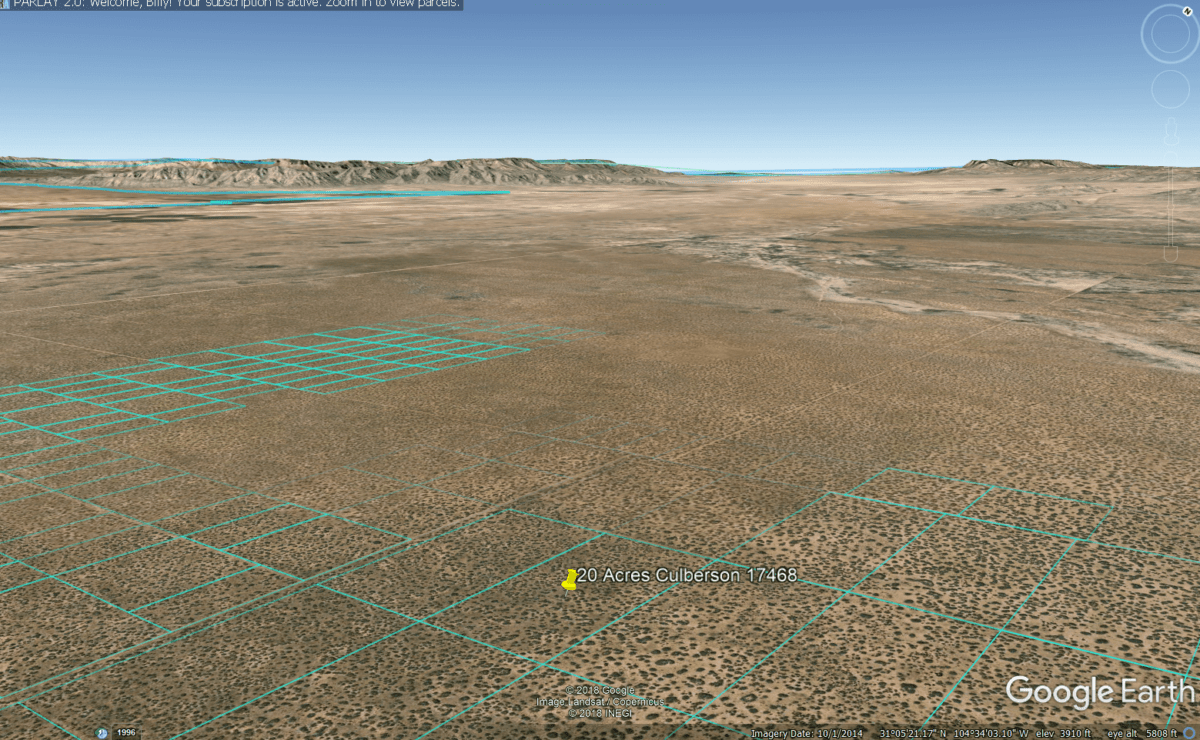
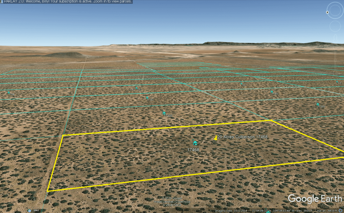
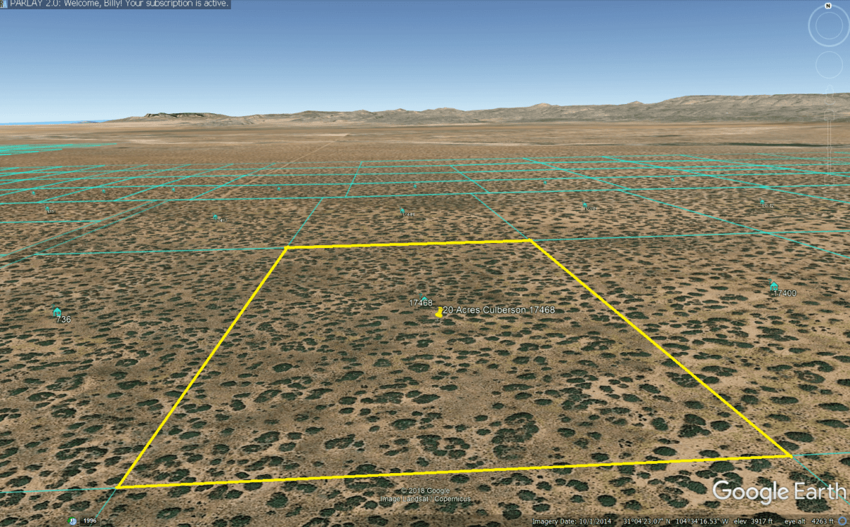
20 Acres in Culberson Co, TX! 17468
Cash: $13,500
or
Owner Finance: $14,375 – $200 Down/$300 Doc Fee & 63 pmts of $247.65 ($225 pmt + $7 service fee + $15.65 property tax)
Note: Down Payment & Doc Fee can be paid using credit or debit card. Monthly payments must be paid using ACH – checking account/routing number.
Down Payment Link: https://app.geekpay.io/dp/brinvest-llc/20-acres-culberson-texas-17468-doc-fee-down-pmt
Acres: 20
Property Id: 17468
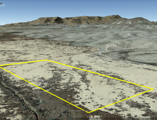
Legal Description: A 20.0000 ACRE TRACT OF LAND IN A PORTION OF SECTIONS 4, BLOCK 81, PUBLIC SCHOOL LAND, CULBERSON COUNTY, TEXAS, BEING MORE PARTICULARLY DESCRIBED BY METES AND BOUNDS AS FOLLOWS:
COMMENCING for reference at a 5/8″ rebar with cap stamped “LAND_MARK TX5710 set for the common corner of Sections 3 and 4, Block 81, and sections 21 and 22, Block 82, Public School Land, Culberson County,TX; THENCE, South 00*28’19” East, with the common boundary line of said sections 3 and 4, passing at a distance of 1277.05 feet a 5/8″ rebar with cap stamped “LAND-MARK TX5710″ set in the northerly line of a 60.00 feed wide road and utility easement, a continuing for a total distance of 1307.05 to a point lying in the centerline of said 60.00 feed wide road and utility easement; THENCE, South 89*31’41” West with said easement centerline a distance of 3999.24 feet to a corner of this Tract and a POINT OF BEGINNING for the following tract description;
THENCE, South 00*28’19” East, passing at 30.00 feed and 5/8″ rebar with cap stamped “LAND-MARK TX5710″ set in the southerly line of said 60.00 feed wide road and utility easement, and continuing for a total distance of 1307.05 feed to a 5/8” rebar with cap stamped “LAND-MARK TX5710″ set for a corner of this tract;
THENCE, South 85*31’41” West a distance of 666.54 feed to a 5/8″ rebar cap stamped “LAND-MARK TX5710″ set for a corner of the this tract;
THENCE, North 00*25’19” West, passing at 1277.05 feet a 5/8″ rebar with cap stamped “LAND-MARK TC5710″ set in the southerly line of said 60.00 feed wide road and utility easement, and continuing for a total distance of 1307.05 feet to point lying in the centerline of said easement and a corner of this tract;
THENCE, North 89*31’41” East with said centerline a distance of 656.54 feet to the POINT OF BEGINNING.
Said parcel contains 20.0000 Acres(871,201 Sq. Ft.) more or less
Elevation: 3971ft
Topography: Flat
Roads: Dirt
HOA/POA: none
Utilities: none
This is off-grid land. There are no city utilities here. You can use batteries, a generator, solar panels or windmill for electricity.
For water you can bring it with you, drill a well, have water trucked in and delivered, set up a rain catchment system
State: TX
County: Culberson
CAD Tax: $169.33
County Tax: $18.54
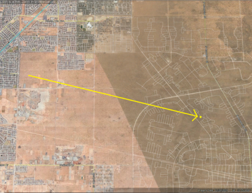
Nearest Town: Van Horn, TX
Google Map Link: https://goo.gl/maps/C1AuyAXvT662
GPS Coordinates: 31.0726, -104.5715
NorthWest Corner
Latitude: 31.0743
Longitude: -104.5724
SouthWest Corner
Latitude: 31.0707
Longitude: -104.5724
SouthEastCorner
Latitude: 31.0707
Longitude: -104.5703
NorthEast Corner
Latitude: 31.0743
Longitude: -104.5704
Links with information on Van Horn:
Area Attractions:

