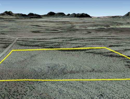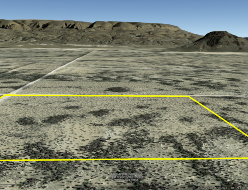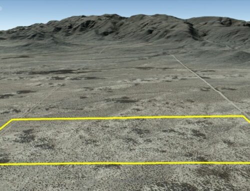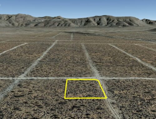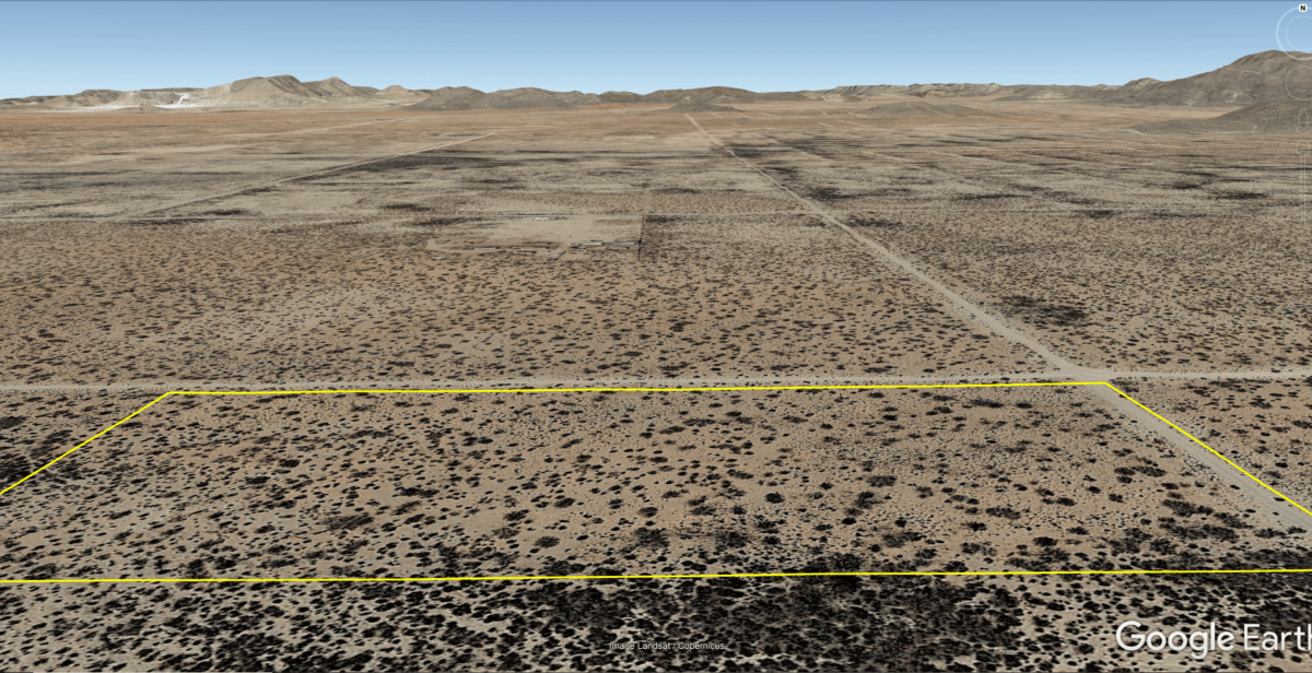
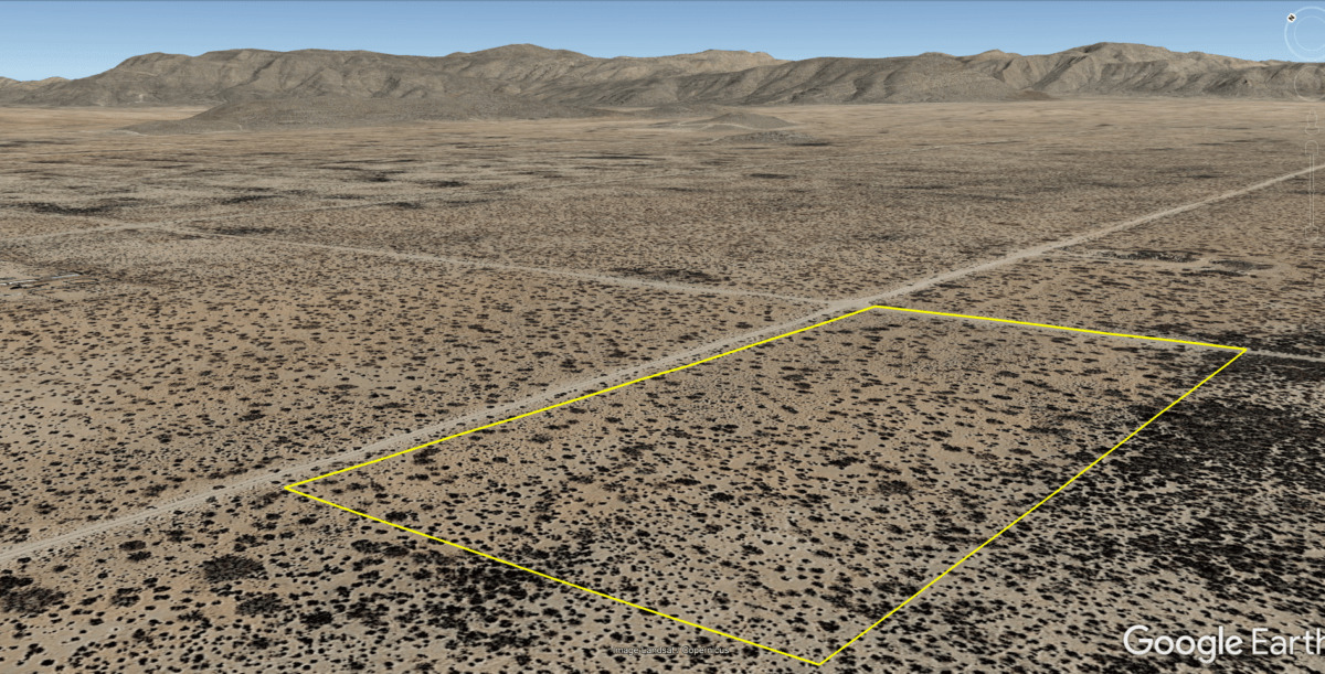
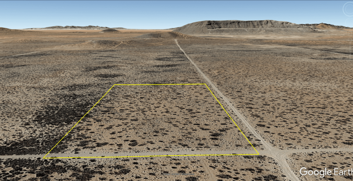
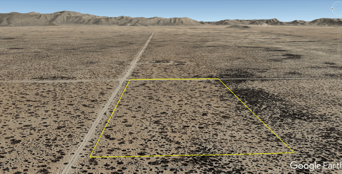
5 Acres in El Paso Co, TX! 245685
Cash: $8,500
or
Owner Finance: $9,000 – $300 doc fee/$0 down and 60 payments of $160 ($150 pmt & $7 service fee & $3.00 tax per month)
Down Payment Link:
Note: Down Payment & Doc Fee can be paid using credit or debit card. Monthly payments must be paid using ACH – checking account/routing number.
Property can not be used to raise animals or as a primary residence while making payments on the property.
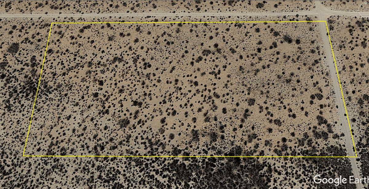
Acres: 5 acres
Property Id: 245685
Legal Description:
The North Half of the Northeast Quarter of the Southeast Quarter of the Northeast
Quarter, Section 19, Block 7, PUBLIC SCHOOL LANDS, El Paso County, Texas, being
five acres more or less; RESERVING, HOWEVER, an appurtenant easement over the
North, East, South and West 20 feet of said property, unto GRANTOR and all persons
claiming under it, and unto the general public for road purposes, and reserving
said easement unto GRANTOR and all person claiming under it, for the placement,
maintenance and operation of public utilities.
Elevation: 4125 ft
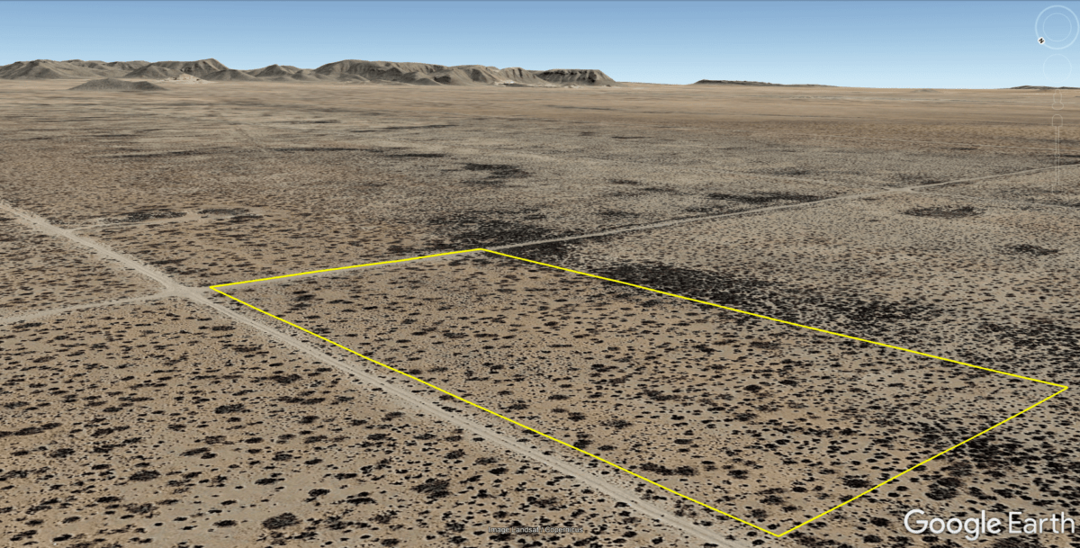
Topography: Flat, Dirt
Roads: Dirt
This is off-grid land. There are no city utilities here. You can use batteries, a generator, solar panels or windmill for electricity.
For water you can bring it with you, drill a well, have water trucked in and delivered, set up a rain catchment system
Mineral Classified Lands: according to the Texas General Land office map, this property is “mineral classified land” which means that the State of Texas owns the mineral rights and splits them 50/50 with the current surface owner.
State: Texas
County: El Paso
CAD Tax: $35.97
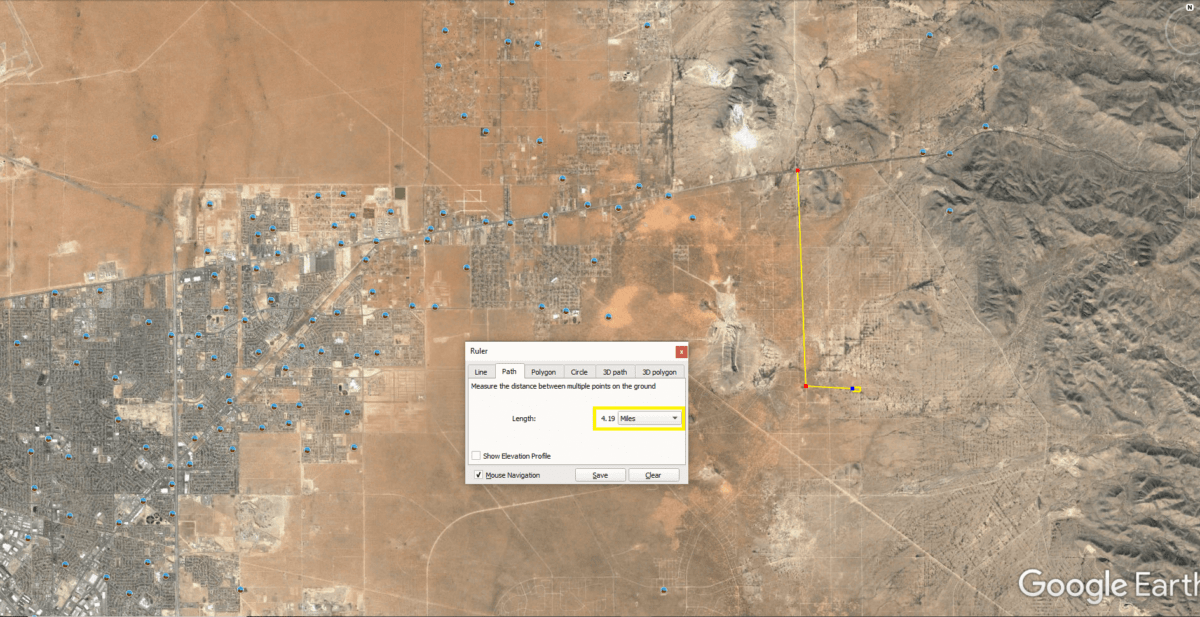
Nearest Town: El Paso, TX
Google Map Link: https://goo.gl/maps/RuHE5dnGqyqbxPa58
GPS Coordinates: 31.779483, -106.081992
NorthWest Corner
Latitude: 31.779897
Longitude: -106.082928
SouthWest Corner
Latitude: 31.779019
Longitude: -106.082906
SouthEastCorner
Latitude: 31.779028
Longitude: -106.080814
NorthEast Corner
Latitude: 31.779886
Longitude: -106.080814
Area Attractions:
Franklin Mountains State Park-El Paso

