Cash: $17,000
or
Owner Finance: $18,000 – $300 doc fee/$0 down & 90 payments of $225.38 ($200 Loan Payment, $10.00 Service Fee, $15.38 property tax)
Doc Fee Payment Link:
Note: Down Payment & Doc Fee can be paid using credit or debit card. Monthly payments must be paid using ACH – checking account/routing number.
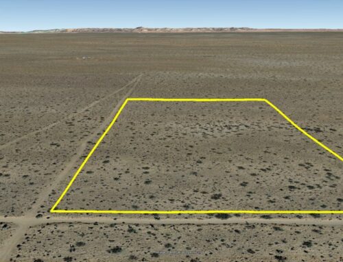
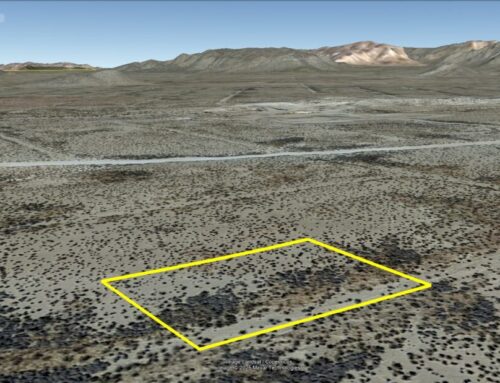
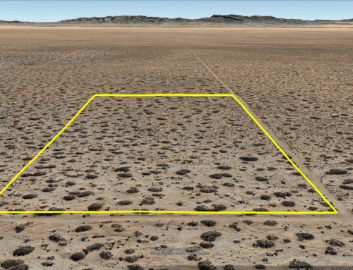
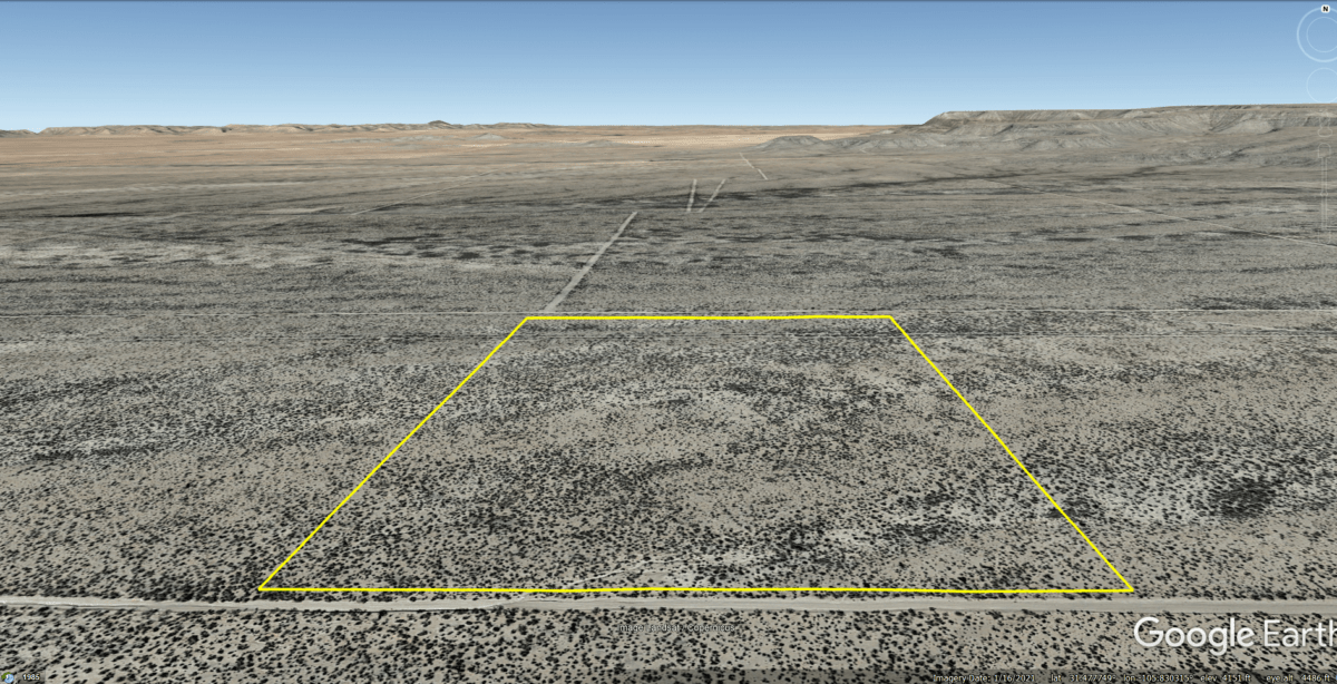
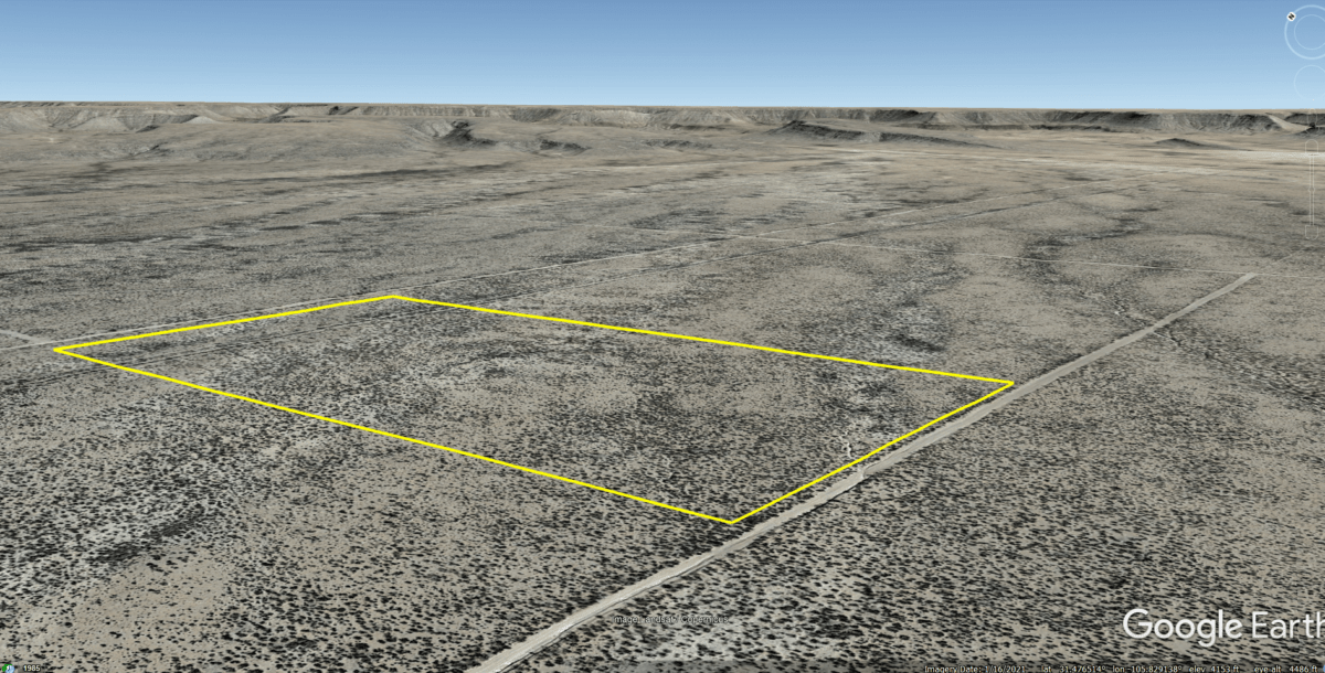
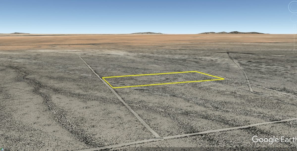
Acres: 20
Property Id: 62110
Legal Description: TRACT(S)# 3 SECTION 27 BLOCK 075 SURVEY TP TWP (if applicable) 5 UNIT 99
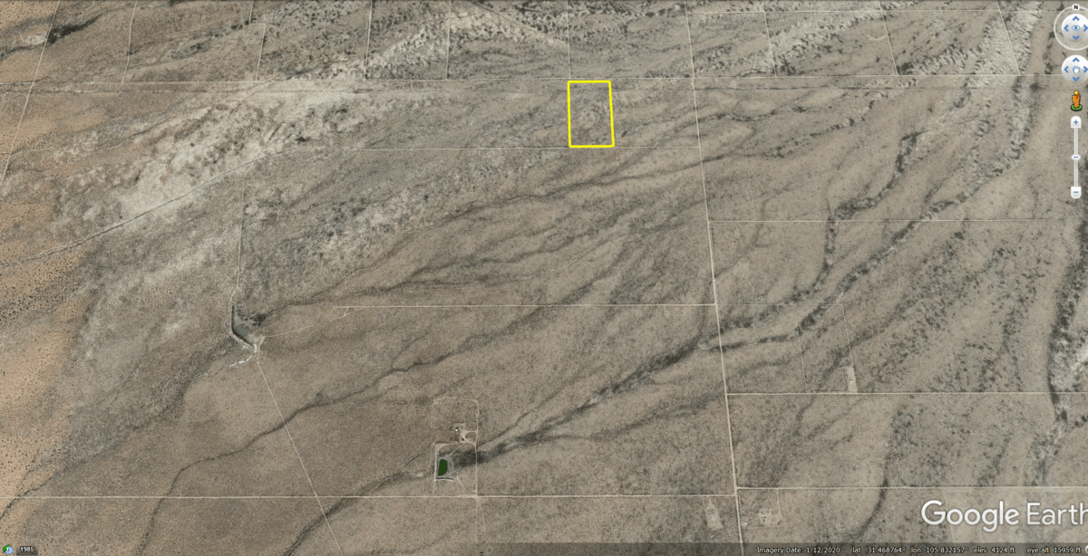
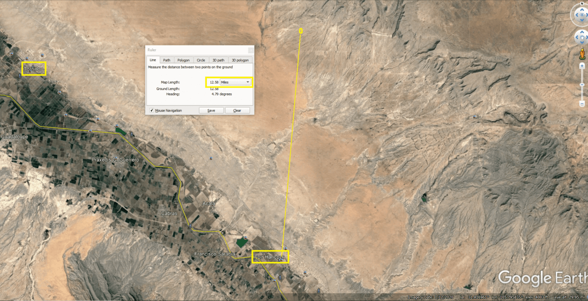
HUDSPETH COUNTY, TEXAS. A total of 20 acres.
Elevation: 4,150 ft.
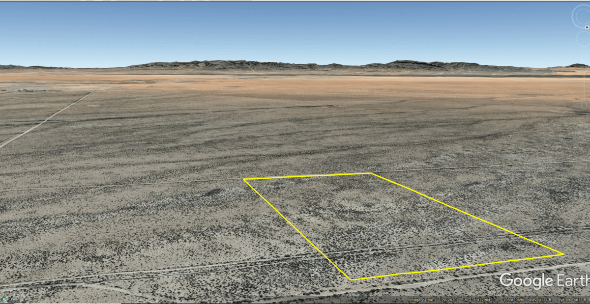
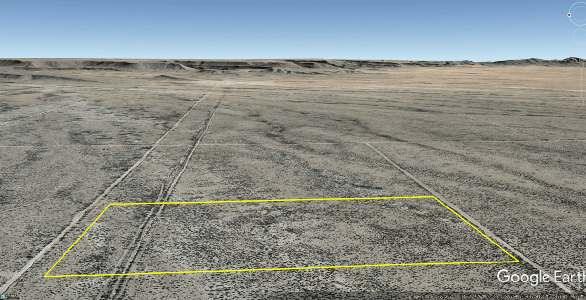
Topography: Flat
Roads: Dirt Road
HOA/POA: none
Utilities: none
This is off-grid land. There are no city utilities here. You can use batteries, a generator, solar panels or windmill for electricity.
For water you can bring it with you, drill a well, have water trucked in and delivered, set up a rain catchment system
Mineral Classified Lands: according to the Texas General Land office map, this property is “mineral classified land” which means that the State of Texas owns the mineral rights and splits them 50/50 with the current surface owner.
State: Texas
County: Hudspeth
Property Tax: $184.49 yr
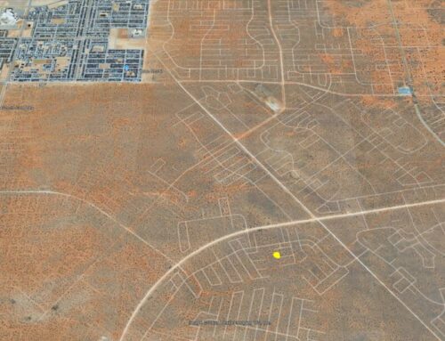
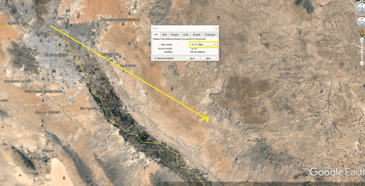
Google Map Link: https://goo.gl/maps/ifKUh5AaofTdTJCw7
GPS Coordinates:
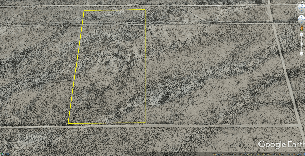
NorthWest Corner: 31.478358°,-105.831209°
SouthWest Corner: 31.474962°,-105.831184°
SouthEast Corner: 31.474970°,-105.829090°
NorthEast Corner: 31.478386°,-105.829151°

