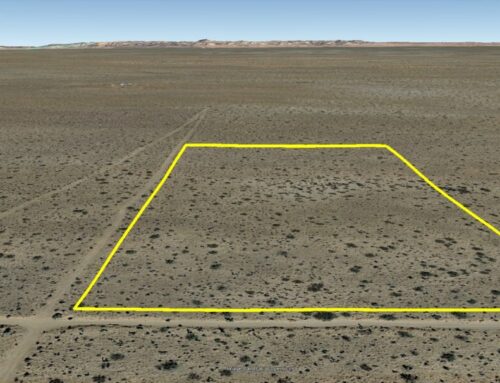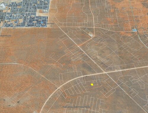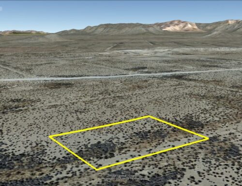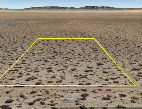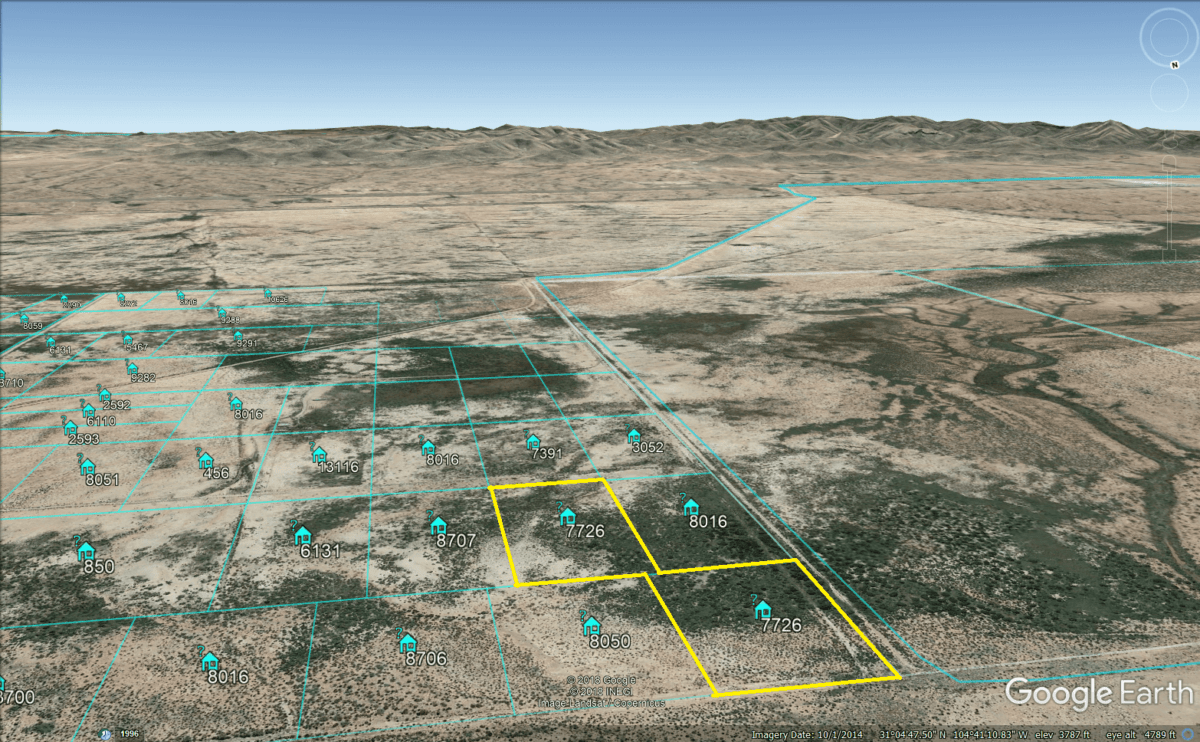
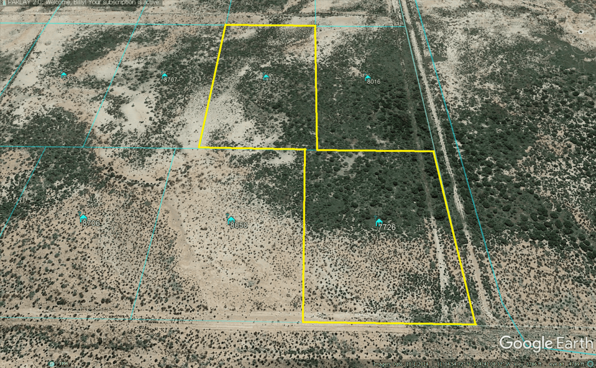
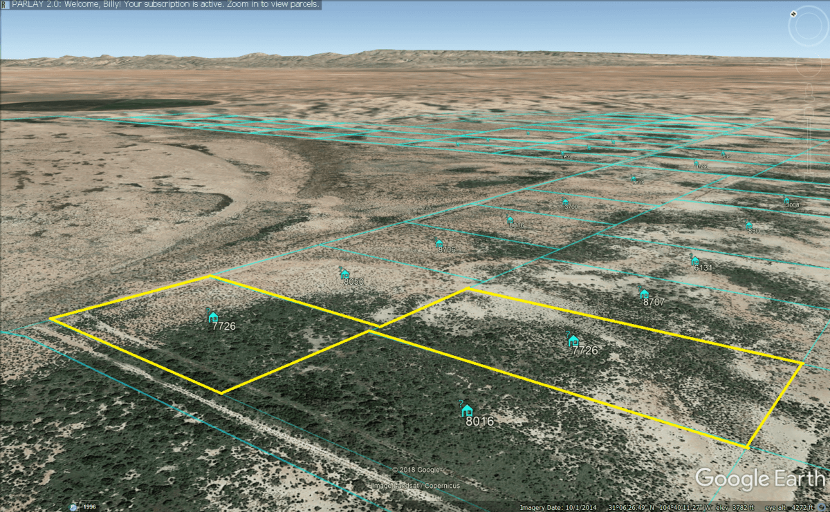
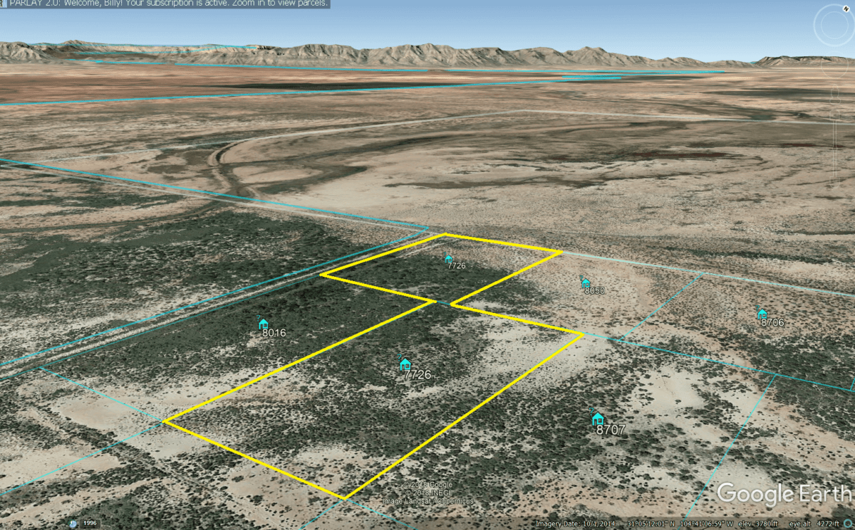
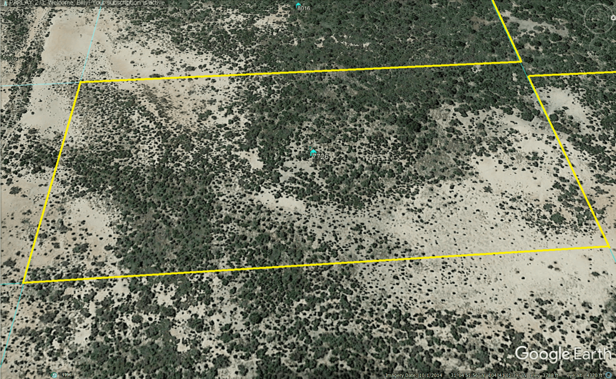
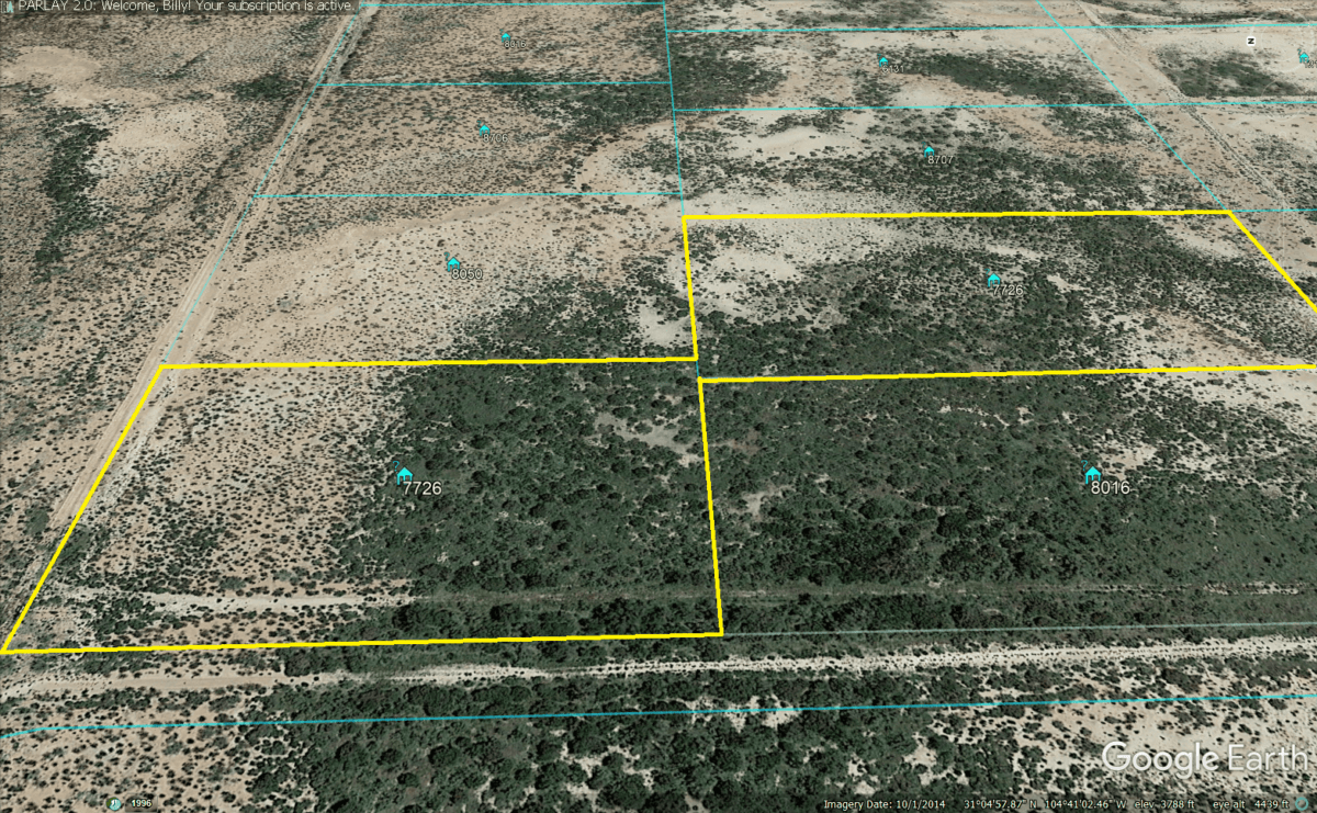
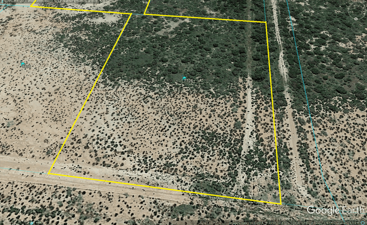
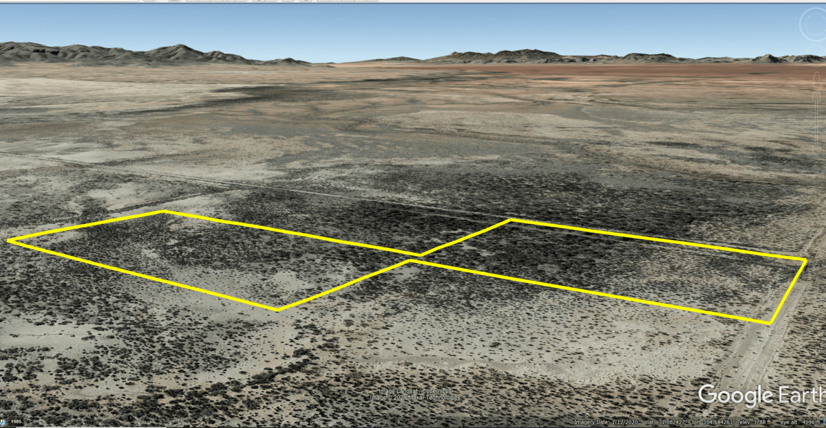
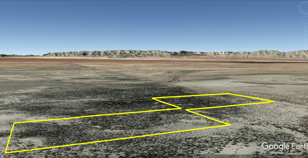
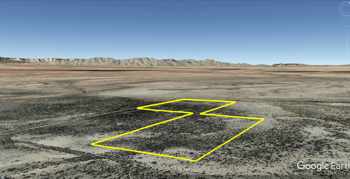
Ten acres consisting of two connected parcels with great views of the Baylor and Apache Mountains.
No restrictions and affordable payments.
Cash: $ 8,450
or
Owner Finance: $8,550 – $300 doc fee/$0 down & 57 payments of $160.14 ($150 Loan Payment, $3.14 Tax, $7.00 Service Fee)
Note: Doc Fee can be paid using credit or debit card. Monthly payments must be paid using ACH – checking account/routing number.
Doc Fee Payment Link:
Acres: 10
Property Id: 7726
Legal Description: Parcels 7 and 9, Unit 200, in SOUTHWEST
SUNSITES SUBDIVISION, Culberson County, Texas, as
shown by the Plats of record in the County Clerk’s
office of Culberson County, Texas;
Elevation: 3787
Topography: flat
Roads: dirt
HOA/POA: none
Utilities: none
This is off-grid land. There are no city utilities here. You can use batteries, a generator, solar panels or windmill for electricity.
For water you can bring it with you, drill a well, have water trucked in and delivered, set up a rain catchment system
Mineral Classified Lands: according to the Texas General Land office map, this property is “mineral classified land” which means that the State of Texas owns the mineral rights and splits them 50/50 with the current surface owner.
State: TX
County: Culberson
CAD Tax: $33.86
County Tax: $3.71
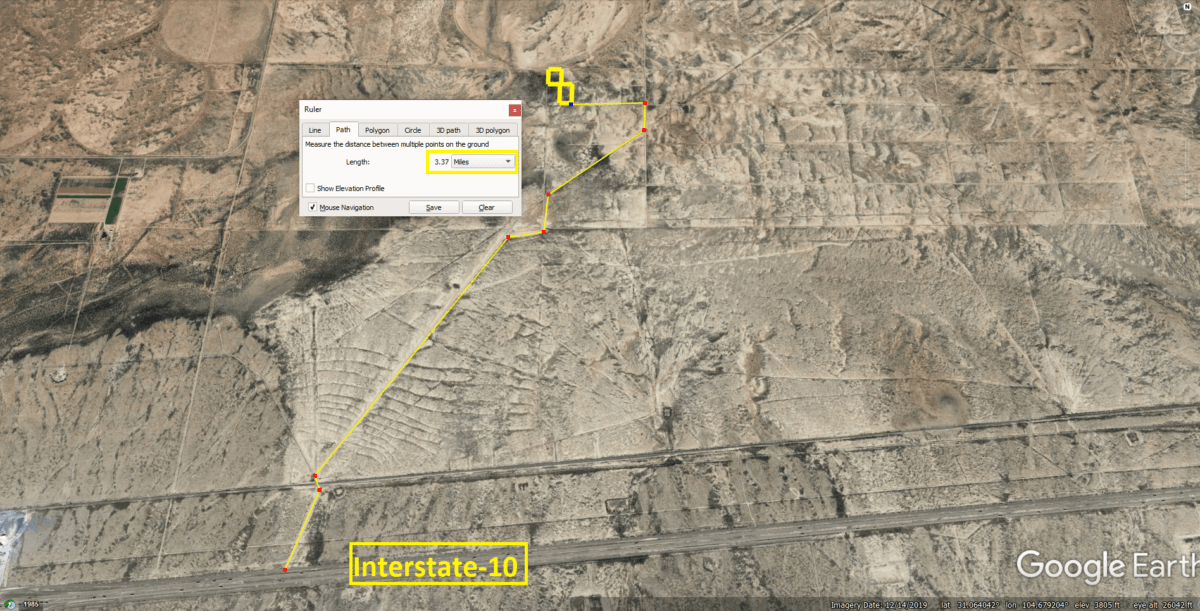
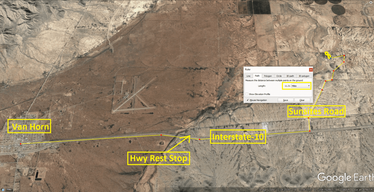
Nearest Town: Van Horn, TX
Google Map Link: https://goo.gl/maps/4bZGdMwArpn
GPS Coordinates
Parcel 7
NorthWest Corner
Latitude: 31.084386
Longitude: 104.684464
SouthWest Corner
Latitude: 31.082936
Longitude: 104.684464
SouthEastCorner
Latitude: 31.082931
Longitude: 104.683303
NorthEast Corner
Latitude: 31.084386
Longitude: 104.683308
Parcel 9
NorthWest Corner
Latitude: 31.082931
Longitude: 104.683408
SouthWest Corner
Latitude: 31.081117
Longitude: 104.683414
SouthEastCorner
Latitude: 31.081117
Longitude: 104.682356
NorthEast Corner
Latitude: 31.082933
Longitude: 104.682353
Links with information on Van Horn:
Area Attractions:

